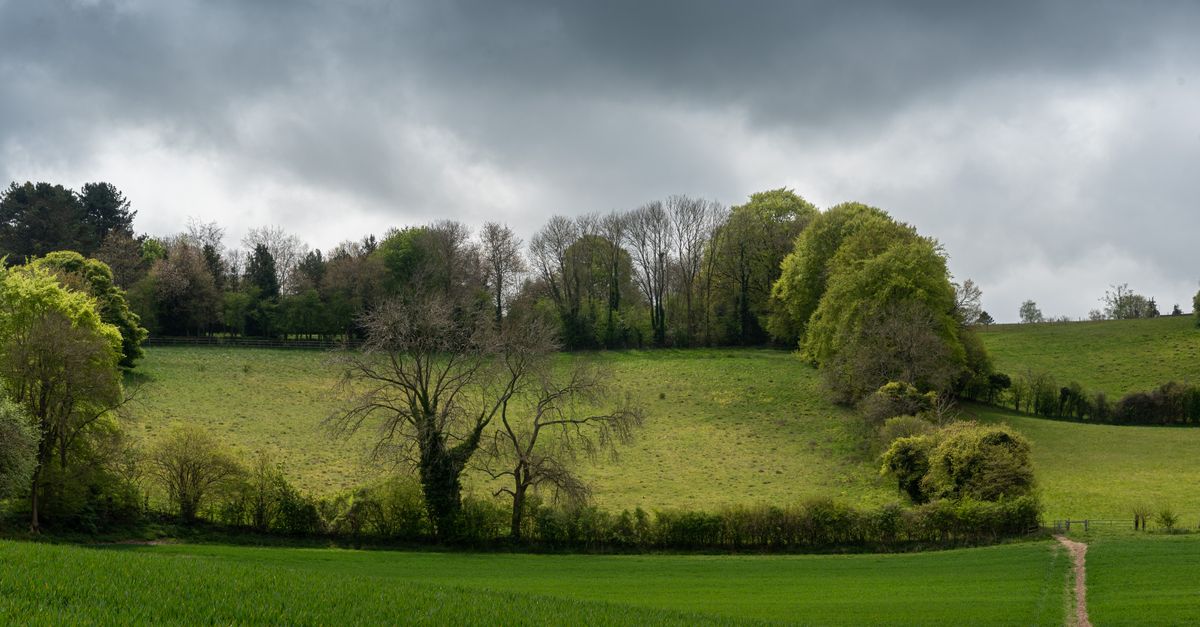
The Bath Skyline is a free, six-mile (9.6km) National Trust circular walk through the meadows and woodland on the hills above the city, taking about three and a half hours. It gives you the panoramas over Bath that the guidebooks use, and it costs nothing. The usual start is Bathwick Hill, at Cleveland Walk (BA2 6JP), a short climb from the centre. Here's how to do it well.
If you only do one walk in Bath, make it this one. It's waymarked, achievable in an afternoon, and turns the city you've been sightseeing in into a view.
The essentials
| Detail | Info |
|---|---|
| Distance | 6 miles (9.6 km), circular |
| Time | About 3.5 to 4 hours |
| Cost | Free, no admission charge |
| Waymarking | Yellow "Bath Skyline" arrows, walked clockwise |
| Start / access | Bathwick Hill at Cleveland Walk, BA2 6JP |
Checked August 2026. It's National Trust open-access land, so there's no ticket or gate.
Where it starts and how to reach it
The signed route starts on Bathwick Hill, where Cleveland Walk meets it. The nearest point to the city is Bathwick Fields, about 0.9 miles (a 20-minute walk) from Bath Abbey, so most people simply walk up from the centre. Head over Pulteney Bridge and up through Bathwick, climb Bathwick Hill to the National Trust bus stop, cross to Cleveland Walk, and pick up the yellow arrows. If you'd rather not climb at the start, a local bus up Bathwick Hill saves the initial ascent.
Which way, and what you'll see
Follow the yellow arrows clockwise. The route strings together hay meadows, ancient woodland, an 18th-century folly (Sham Castle), Iron Age remnants and a series of viewpoints looking back over the honey-coloured city, the Abbey and the surrounding hills. It undulates rather than climbs sharply once you're up, and the best city views come in the first and last thirds.
What to wear and when to go
Wear proper shoes or boots: the woodland sections hold mud for days after rain, even in summer. Take water, and allow the full three and a half hours rather than rushing, as the views are the point. Late afternoon gives the warmest light on the stone, and a clear day is worth waiting for. It's a good all-year walk, but winter turns the woods sticky underfoot.
The honest alternative
If six miles is more than you fancy, you can get a big slice of the reward for far less effort: Alexandra Park, on a hill just south of the centre, gives you the classic rooftops-and-Abbey panorama in a 15-minute walk from town, for free. And Bathwick Fields, at the start of the Skyline route, is itself a short, rewarding stroll with a fine view if you don't want the full loop. For the rest of the city on foot, see things to do in Bath.
FAQs
How long is the Bath Skyline walk?
Six miles (9.6km) as a circular route, taking about three and a half to four hours at a steady pace. It's waymarked with yellow "Bath Skyline" arrows and walked clockwise.
Is the Bath Skyline walk free?
Yes. It crosses National Trust open-access land with no admission charge or ticket. You only need decent footwear and a few hours.
Where does the Bath Skyline walk start?
On Bathwick Hill at Cleveland Walk (BA2 6JP). The nearest point to the centre is Bathwick Fields, about 0.9 miles (20 minutes) from Bath Abbey, so most people walk up from town, or take a bus up Bathwick Hill to skip the initial climb.
Is the Bath Skyline walk difficult?
It's moderate rather than hard: a climb to reach the start, then undulating meadow and woodland paths for six miles. The main challenge is mud in the wooded sections after rain, so wear proper shoes and allow the full time.