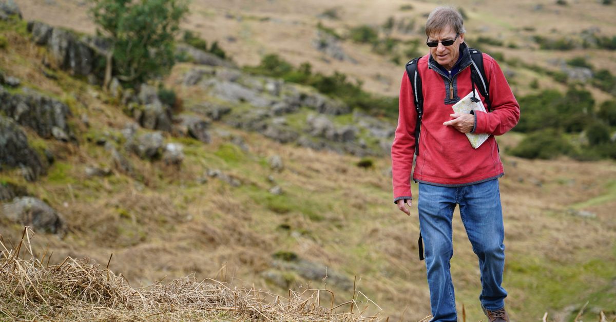
Little Solsbury Hill is a 3.3-mile circular walk starting and finishing in Batheaston, just outside Bath, climbing about 630 feet to an Iron Age hillfort with open views back across the city and the Avon valley. It's shorter and steeper than the full Bath Skyline walk, doable in under two hours, and it's the walk to pick if you want a proper hilltop view without committing to a half-day loop.
The route in brief
The circular route (Bathscape's Walk 9) starts and finishes at the Batheaston Riverside and Gardens car park on the High Street. The first half is flat, following the river with gentle views, before the path climbs steeply up onto Little Solsbury Hill itself. You come back down a similarly steep descent into Batheaston, past its shops and cafes, to finish. Total distance is 3.3 miles (5.3 km), with 631 feet (192 m) of ascent and descent, mostly concentrated in the two climbs.
Underfoot it's a mix of pavement, unpaved path and minor roads, and the route is genuinely very muddy in winter and after wet weather, so this is much more of a spring-to-autumn walk unless you don't mind mud. There are several sets of steps but no stiles.
What's actually up there
Little Solsbury Hill has been occupied since the Iron Age, with archaeological evidence of people living on the hilltop between roughly 500 and 100 BC as a hillfort. It's been owned and managed by the National Trust since 1930, and today it's open grassland at 191 metres (625 feet), with sweeping views over Bath, the Avon valley and the surrounding countryside. It's the kind of view where you can pick out the Abbey tower and the general shape of the city from above, similar to what you get from the Bath Skyline walk but from a different angle and reached by a shorter, sharper climb rather than a longer loop.
The hill also has a more recent claim to fame: it gave Peter Gabriel the title for his 1977 song "Solsbury Hill", after time he spent walking there.
Getting to the start
Batheaston is about 2.5 miles east of central Bath. Your options:
- Bus. First Bus service 3 runs from Bath city centre through to Batheaston and on to Bathford, with a stop close to the start point on London Road East.
- Drive. The Batheaston Riverside car park is free but restricted to 2 hours, so it won't work if you're doing the full loop plus lingering, though free parking is available elsewhere in the village if you park considerately.
- Walk or cycle from Bath. You can follow the Kennet and Avon Canal towpath east into Batheaston and start the walk from there, which turns it into a longer day out; see the Kennet and Avon Canal towpath walk for that route on its own.
There are public toilets (20p) at the start point, and refreshments at the shops and cafes in Batheaston itself, or the Bathampton Mill pub a short distance away.
| Little Solsbury Hill | Bath Skyline | |
|---|---|---|
| Distance | 3.3 miles | 6 miles |
| Ascent | 631 ft | More gradual, spread over the loop |
| Time | 1.5 to 2 hours | Half a day |
| Start point | Batheaston | Bathwick / near the city centre |
| Character | Short, steep climb to a single high point | Longer loop through fields and woodland |
Practical notes
Dogs are welcome, but need to be kept on a lead: livestock graze on Little Solsbury Hill and in the Bathampton Meadows the route passes through, and there are ground-nesting birds on the hill itself. The route isn't wheelchair or buggy friendly, given the steep, unpaved sections. If you want a longer day, this walk connects reasonably well with the towpath route or with a wider loop that also takes in the Bath Skyline, though the two are separate routes rather than one continuous trail.
For a shorter, flatter alternative closer to the centre, or if the mud puts you off in winter, Royal Victoria Park is a gentler option with paved paths throughout.